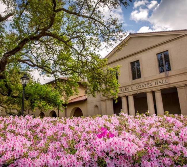

Army Tapped LSU to Understand Deltaic Change, Future-Proof U.S. National Defense
April 06, 2022
Leading “Delta Force” for U.S. Army
When the U.S. Army needed to understand how climate change will affect the so-called “critical zone”—the thin land surface layer comprised of vegetation, soils, and sediments—to improve their own planning and secure people, equipment, and infrastructure, they turned to LSU.
Through one of the largest project grants—$9.3 million—ever awarded to a single LSU coastal science and engineering team, the U.S. Army is now collaborating with faculty and students who straddle the College of Engineering and the College of Coast & Environment and are working toward degrees in coastal and ecological engineering.
What happens to deltaic systems, now and in the future, is of great importance to the military. About 40% of the world’s population lives near a coast, and much of that population is concentrated near deltas—people are nine times more likely to live in a delta than elsewhere. At the same time, low-lying deltas are the most at-risk from climate change. If the goal of the military is to protect land, people, and assets, then deltas matter.
The joint project, Anticipating Threats to Natural Systems, or ACTIONS, is a collaboration between the U.S. Army Engineer Research and Development Center’s Environmental Laboratory, LSU, and the University of Delaware.
“We can design ecosystems to solve complex problems of national security, including for the military,” said Robert Twilley, professor of oceanography and coastal sciences at LSU. “For the first time, we’re able to connect restoration, conservation, and ecosystem design and engineering with performance and value.”
“Having spent nearly seven years in the U.S. Marine Corps, I am excited to conduct research that is so relevant and applicable to Department of Defense installations and operations,” said Clint Willson, director of the LSU Center for River Studies and professor in the LSU Department of Civil & Environmental Engineering. “So much of the research and tools that come out of this project are applicable to our coastal communities and infrastructure, not just here on the Gulf Coast but across the U.S. and the world.”
In the soil, mud, and marsh of Louisiana, LSU students are leading the charge. Colin Anderson (pictured above) is creating a model to help predict water flow and flooding in the Atchafalaya River Basin, North America’s largest floodplain swamp.
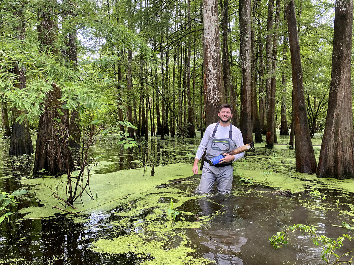
Louisiana’s flat coastal landscape makes it difficult to predict where the water will go. Small differences in elevation can make a big difference. Colin Anderson is building a model to help predict the flow of water, which helps decide the life and death of deltas. In the photo, Colin Anderson stands in the Atchafalaya River Basin, North America's largest floodplain swamp.
– Photo courtesy of Colin Anderson
“Alteration of the critical zone on military installations caused by climate change is a growing concern for the Army and Department of Defense. Through investments in R&D and partnerships with experts in academia and private industry, the Army will find the best solutions for the future. Few other universities can match LSU’s capabilities and expertise on this topic. We’re glad to be partnered with the best.”
Edmond Russo, director of the U.S. Army Engineer Research and Development Center’s Environmental Laboratory