

Army Calls on LSU to Study Coastal Terrain Changes, Help Future-Proof National Defense
March 23, 2022
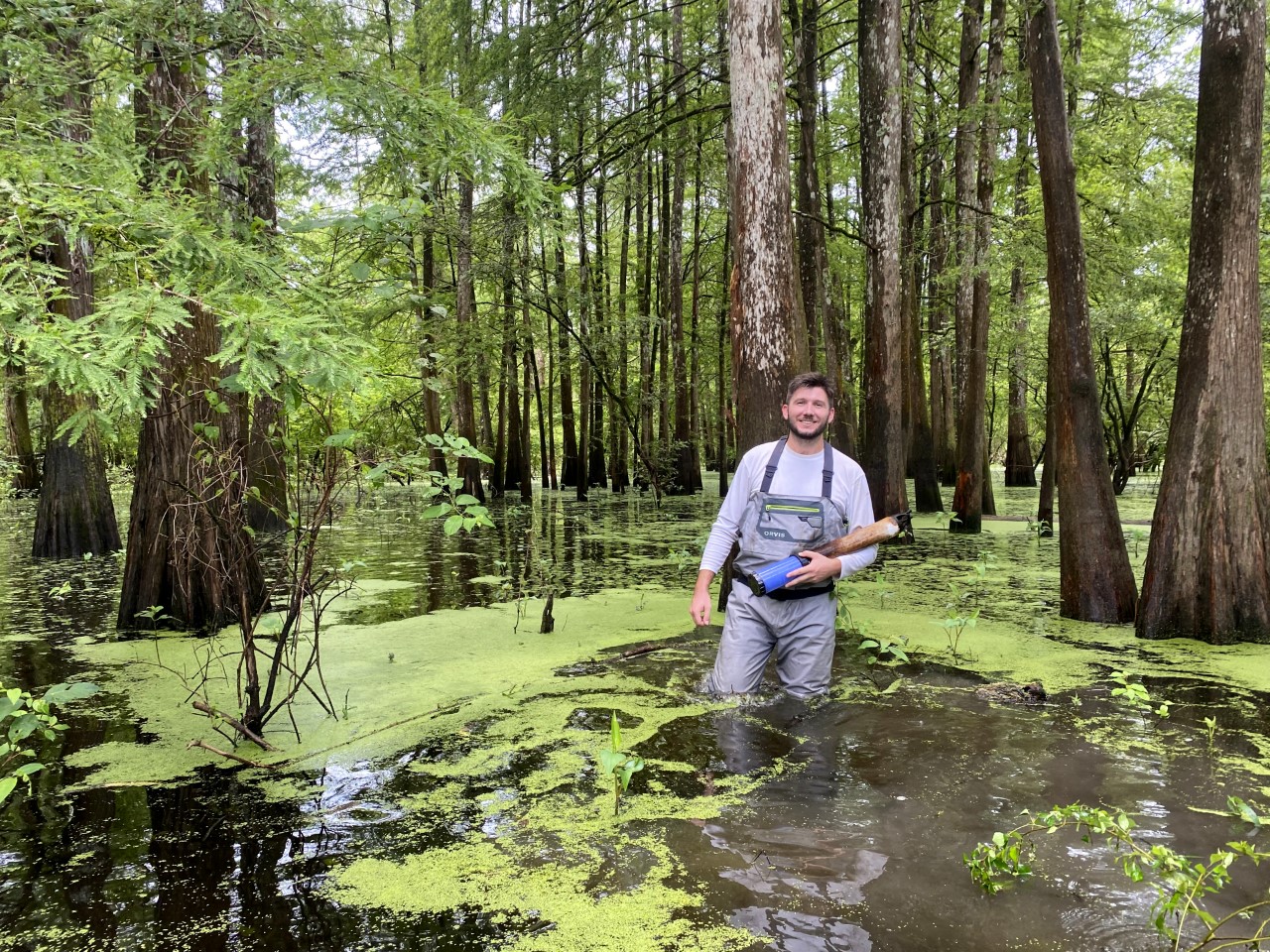
Louisiana’s flat coastal landscape makes it difficult to predict where the water will go. Small differences in elevation can make a big difference. Colin Anderson is building a model to help predict the flow of water, which helps decide the life and death of deltas. In the photo, Colin Anderson stands in the Atchafalaya River Basin, North America's largest floodplain swamp.
– Photo courtesy of Colin Anderson
The U.S. Army is calling on LSU faculty and students from the College of Engineering and the College of Coast & Environment to help understand how climate change will affect coastal terrains, where many military installations and training grounds are located.
“Few other universities can match LSU’s capabilities and expertise on this topic. We’re glad to be partnered with the best,” Edmond Russo, director of the U.S. Army Engineer Research and Development Center’s Environmental Laboratory, said.
LSU's coastal research is applicable to coastal communities and infrastructure, not just on the Gulf Coast but across the U.S. and the world.