Geologic Mapping and Mineral Resources
The Geologic Mapping and Mineral Resources Section of the LGS conducts investigations of the surface geology of Louisiana and renders the results in map format at intermediate and large scales (1:100,000 and 24,000k, respectively).
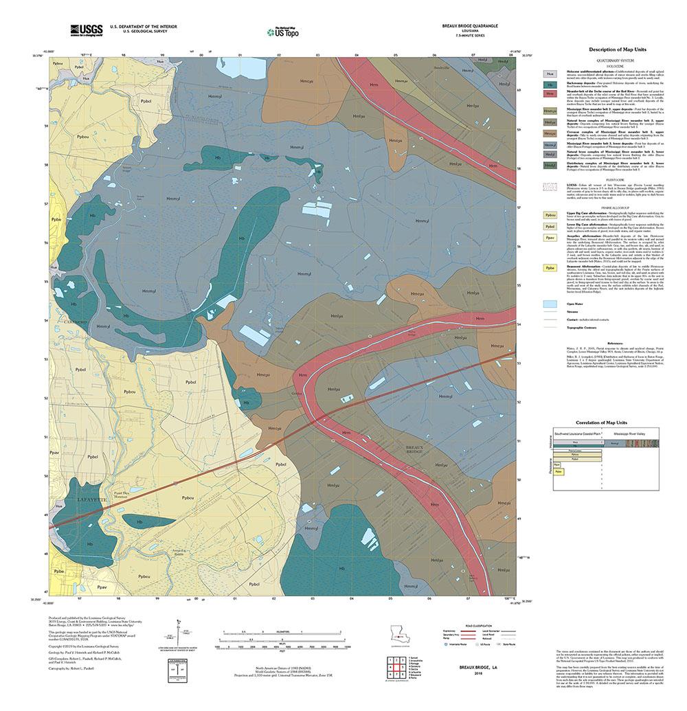
Surface geologic mapping projects conducted by the Louisiana Geological Survey during the past 20 years comprise 1:100,000 scale compilations of 30 × 60 minute geologic quadrangles and 1:24,000-scale field-mapped 7.5 minute geologic quadrangles. The vast majority of these mapping efforts were funded under the STATEMAP component of the National Cooperative Geologic Mapping Program, begun in 1993 and administered by the United States Geological Survey.
The principal goal of this program of geologic mapping for LGS initially was to prepare statewide surface geology coverage at 1:100,000 scale in 30 × 60 minute quadrangle format. This scale was emphasized because it is at the large end of the range of intermediate scales, and preserves abundant detail from source mapping done at larger scales while yet covering relatively large areas. By the close of FY 2013, LGS had completed 30 × 60 minute geologic quadrangle coverage of the entire state, 30 sheets total, with a mix of published lithographs and draft open-file compilations.
Since the late 1990s LGS also has prepared 7.5 minute geologic quadrangles at 1:24,000 scale totaling 53 sheets. Forty three were prepared with STATEMAP support, and the other ten were prepared for the United States Army Corps of Engineers within the Fort Polk region, southcentral Louisiana.
State map 2015-2016 deliverables completed and submitted included geological maps and pamphlets covering four 7.5 minute quadrangles in two study areas, Poverty Point area in northeastern Louisiana and the Amite River Valley north-northeast of Denham Springs.
Geologic Mapping Staff
Paul V. Heinrich
Research Associate 4
Email: heinric@lsu.edu
Telephone: 225-578-4398
Paul V Heinrich graduated from Louisiana State University in 1976 with a Bachelors
of Science in Geology. He earned his Masters of Science in Geology at the University
of Illinois, Champaign Urbana, in 1982, studying the sedimentology and stratigraphy
of Pleistocene slackwater deposits in Southeast Illinois. At LGS he has been involved
in a number of projects involving the Quaternary and archaeological geology in Louisiana
and in the Southeast United States. Research interests include geologic mapping at
1:24,000 and 1:100,000 scales; geomorphology and subsurface stratigraphy of the Willis
and Citronelle formations; meteorite impact craters; neotectonics within Southwest
Louisiana; stratigraphy and geomorphology of Pleistocene sediments composing the Louisiana
coastal plain; and geoarchaeology of the coastal plain of Louisiana and adjacent states.
He has worked for the Illinois State Geological Survey, conducting field studies for
the Rural Abandoned Mine Program; as an exploration geologist for Placid Oil Company
in Denver; as a Field Archaeologist for Prewitt and Associates Archaeological Consultants,
Inc., Austin, Texas; and as a consultant conducting studies of and co-authoring reports
on either the archaeological or environmental geology of project areas for various
companies, including: Coastal Environments Inc.; Earth Search, Inc.; Gilbert/Commonwealth
Associates, Inc.; R. Christopher Goodwin and Associates, Inc.; Iroquois Research Institute;
Reid Company, Inc.; and Prewitt and Associates Archaeological Consultants, Inc.
Richard P. McCulloh
Research Associate 5
Email: mccullo@lsu.edu
Telephone: 225-578-5327
Richard P. McCulloh holds a Bachelors of Science degree in geology from Oklahoma State
University and an Masters of Arts degree in geology from the University of Texas at
Austin. He joined the Louisiana Geological Survey in Baton Rouge after working for
two years as a geologist for Conoco Minerals Inc. in the south Texas uranium district.
Since joining LGS he has been involved in a variety of subsurface and surface geological
investigations, with the overall focus of his efforts shifting from the subsurface
Tertiary to the surface geology of Quaternary and Tertiary units. Areas of research
interest and involvement, formal and informal, have included assessment of geopressured-geothermal
potential; assessment of sedimentary uranium potential; stratigraphic configurations
associated with Miocene growth faults; delineation of shale-filled channels in the
Wilcox Group; surface and shallow-subsurface geology of emergent salt domes in coastal
Louisiana; structural geomorphology as reflected in stream nets and alluvial courses;
and surface geology at 1:24,000, 1:100,000, 1:250,000, and 1:500,000 scales. He has
also done part time work as an editorial assistant for Erico Inc., precursor of Masera
Corporation, an international petroleum consulting firm; and as an abstractor for
Japanese Technical Information Service, a subsidiary of University Microfilms.