Is Louisiana’s Coastline Doomed? Scientists Urge a Closer Look
April 10, 2026
Louisiana’s coastline has long been recognized as vulnerable. But a high-profile 2024 study brought that reality into sharper — and more alarming — focus, warning that under continued sea-level rise, much of the state’s coastal wetlands may not survive the coming decades.
Analyzing data from hundreds of monitoring sites across the state, the study found that most wetlands are not keeping pace with rising water levels. Under a moderate climate scenario, the authors projected that as much as 75% of Louisiana’s wetlands could drown by 2070.
But scientists are now urging a more nuanced interpretation of what those projections mean — and how they should guide the future of coastal restoration.
In a follow-up publication in Nature Communications, LSU-affiliated researchers and collaborators take a closer look at how those conclusions apply across Louisiana’s highly variable landscape. Their analysis does not dispute the scale of the threat. Instead, it asks a different question: Are all wetlands responding to rising seas in the same way?
Their answer: not necessarily — and that difference matters.
Not One Coast, But Many
Louisiana’s coast is not a single system. It is a mosaic of swamps, freshwater marshes, intermediate and brackish wetlands, and salt marshes — each shaped by distinct hydrology, vegetation, and sediment supply. The statewide Coastwide Reference Monitoring System (CRMS), which underpinned the original study, captures this diversity. But interpreting those data requires understanding the environmental context at each site.
For LSU researcher Carol Wilson, understanding Louisiana’s changing coast requires a “big picture” view, grounded in fieldwork.
“Each site has different processes at play that need to be considered when interpreting CRMS data,” said Carol Wilson, associate professor in the LSU Department of Geology & Geophysics. “Looking at the big picture is essential.”
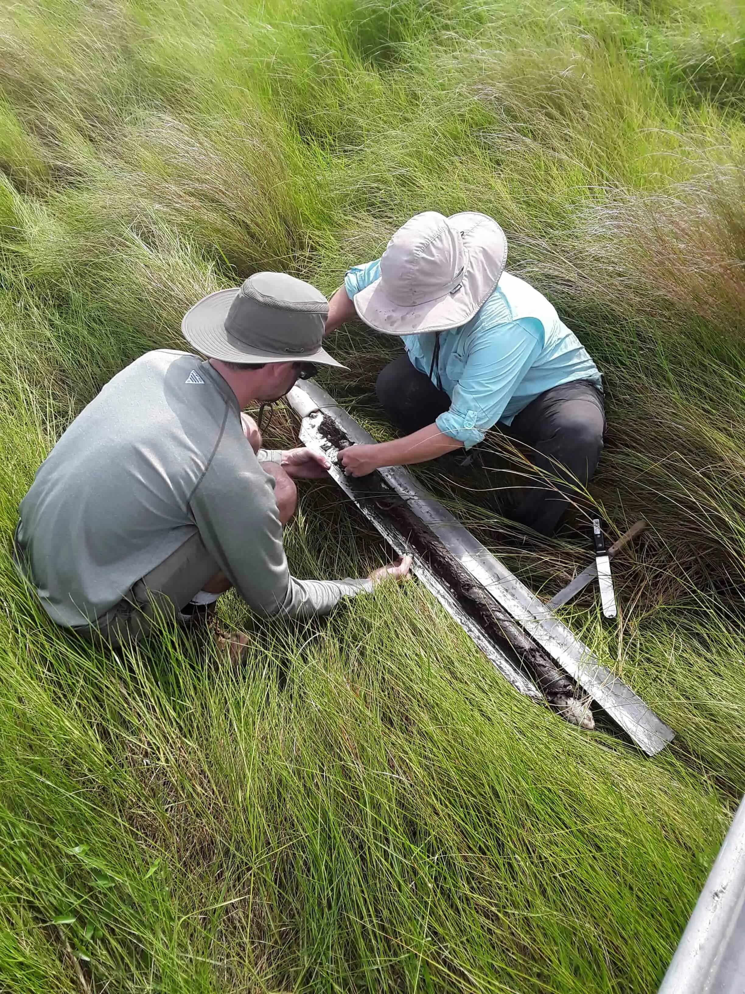
One of the central tools used in both studies — rod surface elevation tables, or RSETs — tracks whether a marsh surface is gaining or losing elevation relative to sea level. These measurements are critical for understanding whether wetlands can “keep pace” with rising water.
But they tell only part of the story. What looks stable at a single point doesn’t always reflect what’s happening across the broader landscape. While instruments may show the surface holding steady, the surrounding marsh can be fragmenting and eroding — slowly breaking apart from the edges.
That disconnect highlights the need for a broader, “boots-on-the-ground” perspective — one that considers not just elevation at a single site, but how the entire marsh is changing over time.
When Wetlands Can Keep Up—and When They Can’t
The original study suggested that key feedbacks between flooding, sedimentation, and plant growth — known as ecogeomorphic feedbacks — may not be strong enough in Louisiana to offset rising seas.
The new analysis offers a more conditional view, showing that these processes can still operate effectively under the right conditions — and that their strength varies across Louisiana’s diverse coastal environments.
Drawing on the same statewide monitoring network, the researchers highlight that wetland loss is not driven by a single mechanism. Among sites experiencing persistent land loss, only about 10% of sites are “drowning,” while roughly 82% are losing land through lateral edge erosion — where marshes break apart from the edges inward.
This helps explain why some sites previously classified as “safe” are located within highly fragmented marshes experiencing some of the highest rates of land loss.
At the same time, the analysis shows that in areas where wetlands remain connected to sediment-rich river water, elevation can respond — and sometimes rapidly. When floodwaters carry sediment into marshes, they can build land and help wetlands keep pace with rising seas.
That pattern is already visible in parts of the Mississippi River’s Birdsfoot delta, where some wetlands are accumulating sediment at rates of one to three centimeters per year — several times higher than relative sea-level rise rates of about 6 to 9 millimeters per year often associated with “drowning” thresholds.
But much of Louisiana’s coast no longer functions this way. Decades of river management and levee construction have cut off sediment supply to large portions of the marsh, limiting their ability to rebuild naturally. In these sediment-starved areas, the same feedbacks are far less effective.
“ The takeaway isn’t that the coast isn’t at risk. It’s that we need to be careful about how we interpret that risk across very different environments. ”
That difference, researchers say, is key. Rather than a single trajectory toward loss, Louisiana’s wetlands reflect a range of outcomes shaped by local conditions — especially whether sediment can reach the landscape and how water moves through it.
These patterns point to a more complex reality — one driven not only by rising seas, but by how wetlands have been altered over time.
“Not all marsh loss is directly due to sea level rise,” said Tracy Quirk, associate professor in the LSU Department of Oceanography & Coastal Sciences and a co-author on the study. “Much of the loss we see — both globally and in Louisiana — has been driven by human activity. Land use change and disruptions to hydrology and sediment delivery have made wetlands more vulnerable to rising seas. Because these mechanisms differ from place to place, understanding them is critical if we want to halt loss and plan effective restoration strategies.”
For coastal managers, this means solutions must match the setting — from rebuilding lost marshes to reconnecting wetlands with sediment-laden river water. In other words, addressing Louisiana’s wetland loss will require a multi-pronged approach — one grounded in a detailed understanding of the processes shaping each location.
Implications for the Future Coast
“The takeaway isn’t that the coast isn’t at risk,” Wilson said. “It’s that we need to be careful about how we interpret that risk across very different environments.”
Both studies point to a coastline under pressure from rising seas, subsidence, and human alteration. What differs is how those risks are interpreted and what they mean for solutions. In practice, this means there is no one-size-fits-all approach. Some areas may require marsh creation to rebuild land that has already been lost. Others may depend on sediment diversions to reconnect wetlands to the Mississippi River and sustain them over time.
Choosing the right strategy requires more than coastwide averages. It demands a detailed, site-specific view of the processes shaping each landscape.
If the original study raised the alarm, this new work adds resolution. Louisiana’s coastline is not uniformly doomed — but neither is it uniformly resilient. Its future will depend on how well science, engineering, and management align with the complex realities on the ground.