Louisiana Statewide Groundwater Model Initiative
Project Sponsors: U.S. Geological Survey, Charles Lamar Family Foundation
Investigator: Frank Tsai (LSU)
Graduate Student: Hamid Vahdat-Aboueshagh, Ye-Hong Chen
Award Length: 2017-2018 (USGS-104B), 2018-2020 (CLFF)
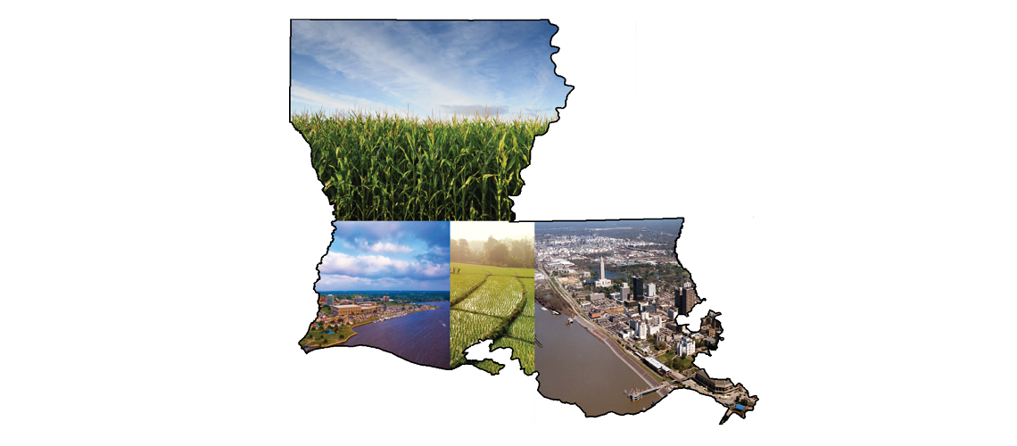
Project Sumary:Creating groundwater model for geographically gigantic areas has been always a great challenge. Most of the large scale groundwater projects are based on a very simple and few-layer models where the complexities of the system are neglected. Overlooking details of groundwater systems may cause unrealistic evaluation of aquifers and incorrect flow analysis as a consequence. In Louisiana state aquifer development project, we intend to build a groundwater model for the entire state considering various geological characteristics throughout the region. This great breakthrough is made through breaking down the big model into smaller tiles with different properties. Each tile acts as a thorough geological structure with its own features such as dip angle, dip direction, starting, and ending elevation. The modeling computations are conducted by defining grid over a tile. The current Louisiana model includes 369 square tiles measuring 20 km on each side with grid resolution of 1km which yields more than 122000 cells covering the region. The dip angles and directions are attributed to the tiles based on geological formations. The Sabine uplift, Red River, and Mississippi alluvial formation are the core geological structures considered to assign geological parameters. Our proposed model is also capable of handling dip angles varying in depth. Around 115000 borehole data were collected and processed for model input. Fortran and MATLAB codes have been developed to create the model. Computations are carried out on High Performance Computing (HPC) center at Louisiana State University (LSU). Needless to say that the idea of discretizing a larger domain into tiles can be extended to dimensionally immense areas such as continental scale models. One of the advantages of our suggested modeling system is the ability of extracting smaller scale aquifer models from the parent model which enables modeler to identify the connections between different aquifer systems. The final step of this study would be developing the groundwater flow model using the most advanced version of MODFLOW. In this way, we are shifting from the traditional regular layered groundwater models toward an irregular layer system which is much more flexible and powerful in terms of addressing real world aquifer systems.