Industrial Canal Underseepage Study
Project Sponsors: Louisiana Coastal Protection and Restoration Authority
Investigators: Navid Jafari (LSU), Frank Tsai (LSU)
Graduate Students: Ye-Hong Chen, Jack Cadigan
Award Length: 2018-2019 (CPRA)
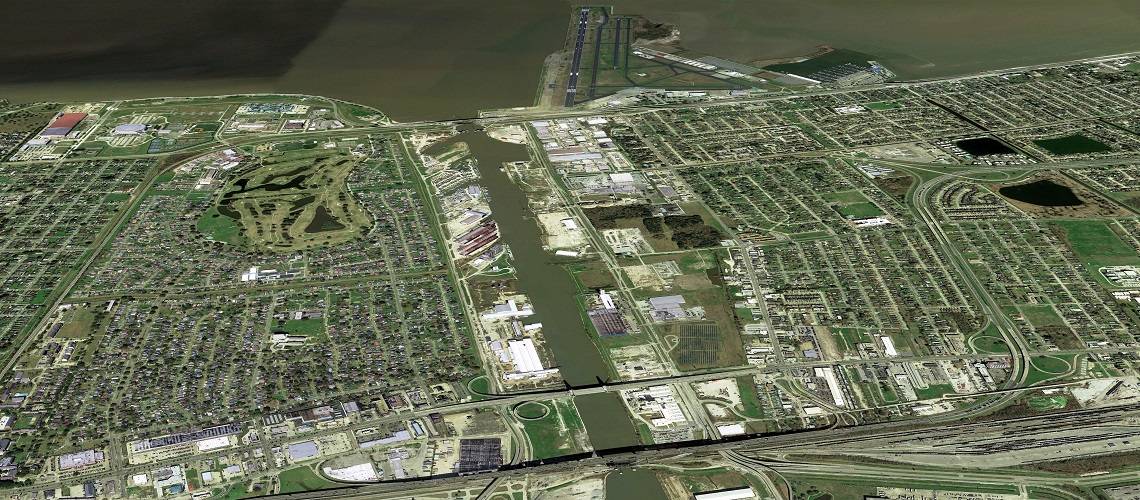
Project Summary: The Inner Harbor Navigation Canal (IHNC) is a 5.5-mile-long, man-made waterway connecting the Lake Pontchartrain to the Mississippi River in the city of New Orleans, Louisiana. The canal is deeply dredged and the water within the canal is believed to connect with subsurface groundwater system. This connectivity coupled with flood and storm surge events could create very high excessive hydraulic pressure in the subsurface, and even fail the foundation of levee through mechanism of sand piping, which happened during Hurricane Katrina in 2005. 186 relief wells were installed along the canal to drain excessive groundwater into drainage system to relieve excessive pressure. I’m working on a project to construct a 3-D seepage model using USGS MODFLOW-USG program, along with the Connected Linear Network (CLN) and Drain (DRN) packages. The model was achieved by incorporating subsurface geologic/geotechnical data, water level data, and piezometer data. The model was also calibrated and used to analyze performance of the relief wells and safety of the floodwall, by calculating factor of safety (FoS) at the toe of the levee. The preliminary result shows that (1) 75% and 32% of the relief wells at the west and east levee respectively has FoS lower than 1.5, which means their safety level are below requirement; (2) relief wells are underperforming possibly because clogging of the well screen and lack of maintenance; (3) more flow rate measurement of the wells should be made to update and better calibrate the model.