New Orleans Groundwater Study
Project Sponsors: Charles Lamar Family Foundation
Investigator: Frank Tsai (LSU)
Graduate Student: Shou Yang
Award Length: 2018-2020 (CLFF)
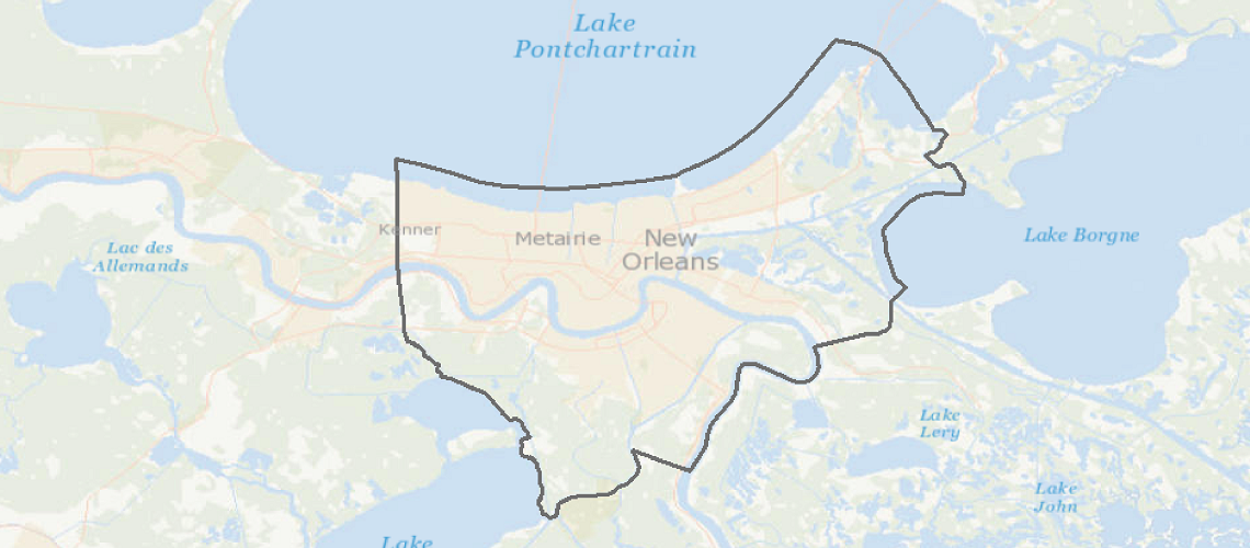
Project Summary:Coastal flooding has become a major concern in modern society. Previous studies focused on surface water issues resulting in flooding in coastal cities, such as tides and surges with rising sea level; however, contribution of groundwater to flooding was hardly mentioned in the past. As a coastal city encircled by levees, New Orleans is expected to be exposed to high subsurface pore water pressure in flood season. Low-lying surface combined with fine-grain stratum might contribute to occurrence of hydrologically related geohazards, such as sand boils or piping points which might allow stressed groundwater to flow out. Although shallow geology of New Orleans has already been detected in the past, it can only be used to qualitatively analyze possible risky zones with the geohazards. As research about shallow groundwater in New Orleans is hardly seen, this study aims to explore groundwater distribution underneath New Orleans area and identify risky zones. The study area contains Greater New Orleans which is surrounded and intercepted by river, lakes and canals. To achieve the goal, groundwater model in the study area is developed based on geological logs. Results of this study can provide a map of distribution of risky zones with potential geohazards, which can be used as a reference for city planning and an indication of potential groundwater flooding in other coastal areas around the world.
![]()