Launching to Resilience: CC&E Hosting Community Workshop Focused on Flood Risk
April 13, 2026
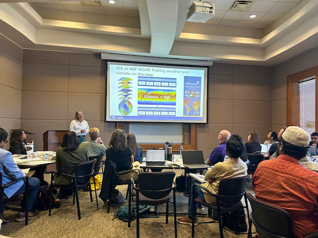
Participants at the GIS workshop learned how to use the technology to map risks of extreme heat and flooding.
– Photo credit: Nazla Bushra
BATON ROUGE - A map sparks discussions about long-term planning. A question about flood risks leads to a long term connection between a scientist and a local official.
These are the kinds of interactions that CC&E’s Louisiana Actionable Understanding for Natural Hazard Preparedness, or LAUNCH workshops are designed to foster – the kind that lead to meaningful connections that build resilience in Louisiana communities. The third workshop in the series, which is co-sponsored by the LSU AgCenter’s LaHouse program and the National Center for Atmospheric Research, or NCAR, is taking place at LSU next week.
Organizer Nazla Bushra, an assistant research professor in the LSU Department of Oceanography and Coastal Science, or DOCS, designed the Louisiana-focused series to help local communities confront challenges like extreme weather and flood risk, by connecting them with resources and tools available through NCAR.
The day-long workshop, “From Models to Action: Community Action Planning for Louisiana’s River and Coastal Systems,” takes place next Monday It will focus on hydrological mapping and flood risk, bringing together participants from a variety of backgrounds - government and agency officials, researchers, students and local decision makers.
“[NCAR] has developed hands-on training about Louisiana, using the hydrology of Louisiana. It's not something they already have. It's customized, and focused on participants from Louisiana,” Bushra said. It’s also not too technical. “We make it very, very, user-friendly. Anyone, even without having any background, they can participate.”
The first workshop focused on using GIS maps to understand extreme heat and flooding risk. The second provided resources and information about climate and hurricanes to K-12 science educators.
Building Resilience through Communication
Workshops are about more than showcasing a tool, though. They are designed to build connections and strengthen lines of communication between people.
Bushra used the example of GIS maps, which she said not only assist leaders in the nuts and bolts of planning, but help give people a tangible sense of place, and the risks they may face. “When you point your house on a map, and the map shows flooding, risk of extreme storm surge, or risk of high temperature, you get the feeling of being connected,” she said. “A map is a powerful tool.”
This sense of connection, she said, helps people open up and better communicate, an essential interaction when trying to build community resilience, particularly when not all members of a community may see resilience in the same way, Bushra said.
It can be difficult for decision makers to even be sure they are hearing all the voices in their area.
Equally important are the connections made between workshop participants, who carry those relationships back into their research or future careers, , along with access to validated, high-quality scientific resources developed by leading atmospheric research institutions.
As important as the demonstrations of technology are, Bushra says the workshops carry another, equally vital benefit: providing scientists, officials, and community members a shared language for talking about risk.
Relationships and communication are a strong component of resiliency, sometimes in surprising ways. Bushra noted that a common theme at past workshops was the need to get all voices to the table - and the difficulty of achieving that in practice.