What does hurricane season hold for the Gulf? CC&E takes a look
June 15, 2023
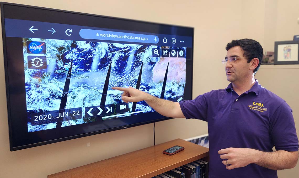
CC&E's Paul Miller discusses satellite imagery.
BATON ROUGE - We are halfway into June and much remains to be seen about the 2023 hurricane season. Predictions this year from both NOAA and Colorado State have simply called for an “near average” storm season, which, for the NOAA forecast, can mean anything from 12 to 17 storms developing.
While these forecasts cover the entire Atlantic Ocean, CC&E's Paul Miller has begun putting together a more Gulf-centric model. Along with fellow LSU faculty Jill Trepanier, an associate professor in the Department of Geography & Anthropology, Miller issues a forecast just for the Gulf of Mexico. He talked to CC&E about what this year’s hurricane season could look like for Louisiana and the rest of the Gulf.
You work with Jill Trepanier to issue your own hurricane forecast, just for the Gulf of Mexico. How is your forecast different from NOAA’s?
Most seasonal hurricane forecasts, which target the entire Atlantic, are strongly weighted toward sea surface temperature. However, the Gulf is different than the broader Atlantic, because sea surface temperatures almost always exceed the minimum threshold we need to have hurricane development. We looked at the data from about the past 40 years, and realized that air temperatures about halfway between the ground and the stratosphere corresponded pretty closely to the number of named tropical systems. So to make our Gulf of Mexico forecast, we look at the air temperature about four miles above the ground.
What do you think is going to happen this year?
Our forecasting process predicts seven named storms for the Gulf of Mexico this year, which is far more than average. In 2020, our system would have predicted six named storms and there ended up being 10. But just seven would be enough to keep folks busy.
And we already had one, Arlene. It was in early June. It formed right along the northern Gulf coast and actually went south and dissipated, so it never made landfall. It was one of the few Gulf of Mexico storms that was able to form within the Gulf and not hit land.
We know that warmer seas provide the energy necessary for a storm to grow into a hurricane. What role would air temperature play?
The 4-mile air temperature is likely a commentary on other favorable conditions that boost hurricane activity in the Gulf, rather than the cause itself. Warmer conditions aloft are typically associated with more stagnant wind patterns which usually possess less of the vertical wind shear that is detrimental to tropical development. Alternatively, the wind patterns associated with warmer high-altitude temperatures may also be better at steering hurricanes into the Gulf from elsewhere in the Atlantic. It’s something we’re still looking into.
Just to touch on the NOAA forecast for a moment: the odds are pretty split – 40 percent chance of an average season, 30 percent chance of above average and a 30 percent chance of below average. What do we make of that?
So the problem this year is that we’re getting mixed signals. We just entered an El Niño phase that’s expected to only get stronger throughout hurricane season. El Niño is typically associated with below average hurricane seasons, so that’s good. The problem though, is that the Atlantic is really warm and so if you were to go off of the sea surface temperatures and the sea surface temperature anomalies, that suggests more of an active season. And so your wires are getting crossed a little bit. That’s why the NOAA and Colorado State forecasts were average--higher than you would expect for an El Niño year, reflecting the idea that you've got kind of competing factors. The idea is that some of this will depend on how strong and how fast the El Niño strengthens.