What is Resilience?
May 29, 2023

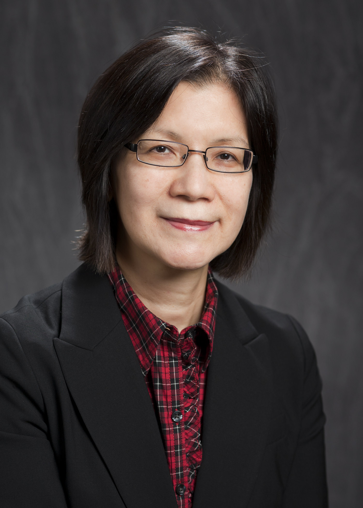
Dr. Nina Lam
CC&E's Nina Lam is being recognized for her efforts to define and measure this abstract concept.
BATON ROUGE - Resilience is a term we’ve all come to recognize, particularly in discussions surrounding extreme weather and natural disasters. But though the term is widely used, researchers do not agree on its exact definition, and, this lack of consensus means there is also no single, standardized way to measure a community’s resilience.
Environmental Sciences Professor and Abraham Distinguished Professor of Louisiana Environmental Studies Nina Lam is seeking to change that. Her efforts have won her the 2023 Research Award from the University Consortium for Geographic Information Science, or UCGIS.
The award recognizes the development of what Lam has termed the RIM model, meaning the Resilience Inference Measurement. The RIM model seeks to give researchers and practitioners a standardized way to select, gather and analyze data that can help them determine how well a community may be able to withstand and recover from a natural disaster or other catastrophic event. Geographic Information Sciences, or GIS, methods are key to the development of the RIM model.
“Resilience is so abstract. I wanted to develop a standard, not necessarily a problem solving variable, but an evidence-based standard in evaluating what a community can sustain and things they should and should not do to prepare,” said Lam.
In South Louisiana and along the Gulf Coast, it’s a project with immediate practical applications. However, it also finds a wider audience, as the rest of the country and world grapple with the effects of climate change.
The RIM model takes into account three dimensions: hazard threat, damage and recovery, to represent two relationships: vulnerability and adaptability. Lam and her team used areas in the lower Mississippi River basin as a case study for the RIM model. They utilized data from the years 2000 – 2010, from areas surrounding Baton Rouge, Lafayette and New Orleans--a time when an estimated 420 coastal hazards severely affected the area, causing over $50 billion in property damage. Using variables such as households living in poverty and mean subsidence rate, the RIM model was able to accurately describe the ability of different areas and towns to rebound after a natural disaster.
Shih-Lung Shaw, the president of UCGIS and professor of Geography & Sustainability at the University of Tennessee, called Lam’s research groundbreaking. “Her research has opened up a new direction for GIScience researchers to understand the coupled natural and human systems sustainability. Her intellectual legacy will continue to inspire generations of geospatial scientists to advance our understanding of fundamental GIScience concepts and their effective use in addressing societally important problems,” he said.
“I am very honored with this prestigious research award by experts from a national organization composed of universities with long-standing broad-based GIS research and education," said Lam. "Needless to say, my research on RIM and other research dimensions would not be possible without the support of my collaborators, postdocs, and students, and of course, the various funding agencies over the years.”
Although the Research Award is awarded on the basis of a single project, Lam noted that her work on the RIM model came out of her previous GIScience projects, which included identifying patterns in cancer mortality in China, and tracking the spread of HIV/AIDS in the rural United States. It is noted that Lam was honored with the inaugural Carolyn Merry Mentoring award and the Fellow status in 2016, also by the UCGIS.