LSU Geology & Geophysics Professor Receives NSF CAREER Award
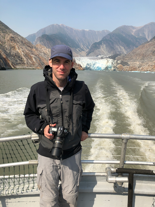
Dr. Forte on a trip to see the glaciers in Tracy Arm Fjord south of Juneau, Alaska as part of a conference on climate-tectonic interactions in 2019.Photo Credit: Adam Forte
BATON ROUGE - LSU Department of Geology and Geophysics Assistant Professor Adam Forte has received a five-year National Science Foundation Faculty Early Career Development, or CAREER, award to support his research and help and answer the question “Does long-term topography preserve details of the seismic cycle? Seeing through, and exploiting, the diverse forcings influencing actively deforming landscapes.”
Forte is a field and model-based geologist whose research integrates aspects of geomorphology,
structural geology, and stratigraphy to understand tectonic problems. His primary
research interests focus on the connections between active tectonics and the development
and modification of topography.
The NSF CAREER award is one of the foundation’s most prestigious grants awarded to
early-career faculty who effectively integrate research and education within their
organization's mission. Forte will receive $475,451 over 5 years to provide a critical
set of tools for better understanding earthquake hazards, both domestically and abroad
in regions that lack comprehensive seismic hazard assessments and improve the safety
and security of populations living in regions of potential hazard.
Geologists work to understand the patterns of earthquakes and generally can go about
this in two ways. One way is by using Global Positioning System (GPS) to measure Earth’s
crust on times scales of 10s of years, which is a short time frame for geologists
who typically look at data from thousands to millions of years ago. For longer time
scales, which is still short in geologic terms, researchers can dig trenches along
accessible fault lines to find evidence of individual earthquakes that are preserved
in the rocks or dirt at the top of the earth’s crust. These specific markings in the
crust can be used to estimate how much movement has happened at a particular location
and when it happened, allowing geologists to typically reconstruct a few previous
earthquakes at that location. While this allows some parts of the seismic cycle —
the time between earthquakes — to be recorded, geologists are still missing most of
the history of earthquakes on a fault. Additionally, teams must physically go to the
location, which can be time consuming and expensive. There are also faults where very
little or no work has been done due to accessibility issues or the proper research
infrastructure not being in place for this type of work.
Instead of looking below the Earth’s surface for the longer-term earthquake history,
Forte’s project aims to look above the Earth’s surface at the topography — forms and
features of the land surfaces near fault lines like hillslopes and river valleys.
“We already use topography to tell us average rates of fault movement or the rate
at which rocks are moving up,” explained Forte. “The idea I had was that you might
expect some of that longer term history to be preserved in the topography that gets
built next to faults or along faults.”
For example, when looking at how steep rivers are, you would generally expect that
if the rocks surrounding the river are moving up at a high rate, the river would be
steeper. Visa versa, if the rocks surrounding the river are moving up a lower rate,
the river would be less steep.
In the first part of Forte’s project, he and his team will work to build a large and
comprehensive suite of simulations of landscapes developing through successive earthquake
events and with varying climate and rock details being used to develop a set of fingerprints
for relating landscape form to earthquake details.
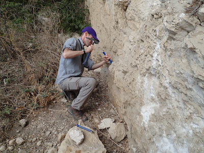
Dr. Forte sampling pieces of brecciated (broken up) limestone from a large enigmatic block within the Kura Fold-Thrust Belt in the eastern part of the Republic of Georgia in 2018.Photo Credit: Adam Forte
This will entail his team working to get earthquake and topography evolution models
to talk to each other to produce the simulations needed for the project since these
are two models researchers don’t typically use together.
According to Forte, this first part is an exploration stage where the team will be
able to use the simulations to test different variables like types of faults, the
style of earthquakes (for example are earthquakes mostly small and frequent or large
and infrequent), climatic details, and types of rocks to see which variables are important
to the relationship between earthquakes and topography and how things change when
these variables are adjusted.
From there, the second part of the project will begin with the team using the simulation
data to explore field locations where they can expect the things they are looking
at in the models to be best represented and can then fine-tune the models.
“Since we are trying to understand details of this relationship, we want to first
look at places where some of that traditional paleoseismic work has been done, so
we already know something about the seismic cycle,” said Forte.
Once the models are calibrated, the team will apply them to places where little earthquake
history is known and will be able to give an idea of what that history is based on
the topography of the area.
“If we can get a general idea of the relationship between long-term earthquake activity
and topography by looking at freely available digital topography, it would provide
a lot of utility to seismic hazard assessments and understanding the risk in particular
places of types and sizes of earthquakes, especially in places where the traditional
methods either haven’t been done or are hard to do for any number of different reasons,”
said Forte.
An additional byproduct of the project will be the creation of a digital resource
called LandscapeLibrary that will have a large set of landscape simulations developed
under a wide array of controlled conditions. A series of education exercises which
use the LandscapeLibrary are being developed for a range of educational levels from
secondary to graduate level, providing a far-reaching education resource that will
contribute to the development of the STEM workforce and promote a general understanding
of the context for the surface of the Earth.
“The goal is to produce a lot of data that is useful for understanding a particular
problem, but then packaging it in a way that is accessible so it can be a flexible
tool for people to use in classroom or for research,” said Forte.
Adam Forte completed his BS in Geology at the College of William & Mary in 2005. He
then moved to the University of California, Davis and completed a MS in Geology in
2007 and a PhD in Geology in 2012, both with Eric Cowgill. After a short postdoc at
UC Davis as part of the Keck Center for Active Visualization in the Earth Sciences,
he started as a SESE Exploration Postdoctoral Fellow at the School of Earth and Space
Exploration at Arizona State University working with Kelin Whipple in 2013. He remained
at ASU until starting at LSU in the fall of 2017.